| |
|
MAPS: Index
Maps are a favourite topic of mine, and I spend a lot of my time as a GIS Tech creating/editing and just generally messing around with maps. Conveniently, my love of the outdoors also lends itself well to the study of maps, and since it is a popular topic amongst outdoorsy folks, I've decided to put together a list of resources to help out fellow map lovers! There are links to Crown Land Maps, Paddling Maps, Topographic maps, and cycling trip planning maps! To see this great list of resources, click on Map Resources. If you know of any great links that I should include on this page, please don't hesitate to e-mail me!
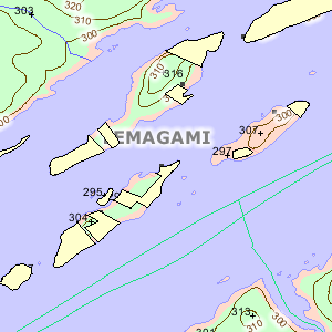
| My Crown Land Maps page is what most of you are likely looking for! If you want to find out where Ontario Crown Land is, you are in the right spot! It shows the Ontario Base Mapping (OBM) data as a base, but has an overlay of privately owned land. This means that data that is not showing as Privately owned is Crown Land! Check it out! |
 |
 |
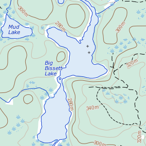
I've created a simple page showing the National Topographic Series (NTS) maps for all of Canada from the Toporama web mapping service in an interactive map. Check it out to see Canada-wide data at 1:50,000 scale. Zoom around to your heart's content! |
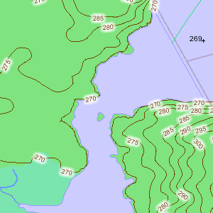
| My OBM Maps page is similar to the above, but shows the Ontario Base Mapping (OBM) data which is at a 1:10,000 scale for Southern Ontario, and 1:20,000 for Northern Ontario. |
 |
|
|
|