| Home | Tripping | Gear | Misc. | Maps |
|
Canoe Trips |
Other Trips |
Resources |
MNR Canoe Routes |
A Day in the Life |
Food |
E-Mail Me! |
Search
|
||||||
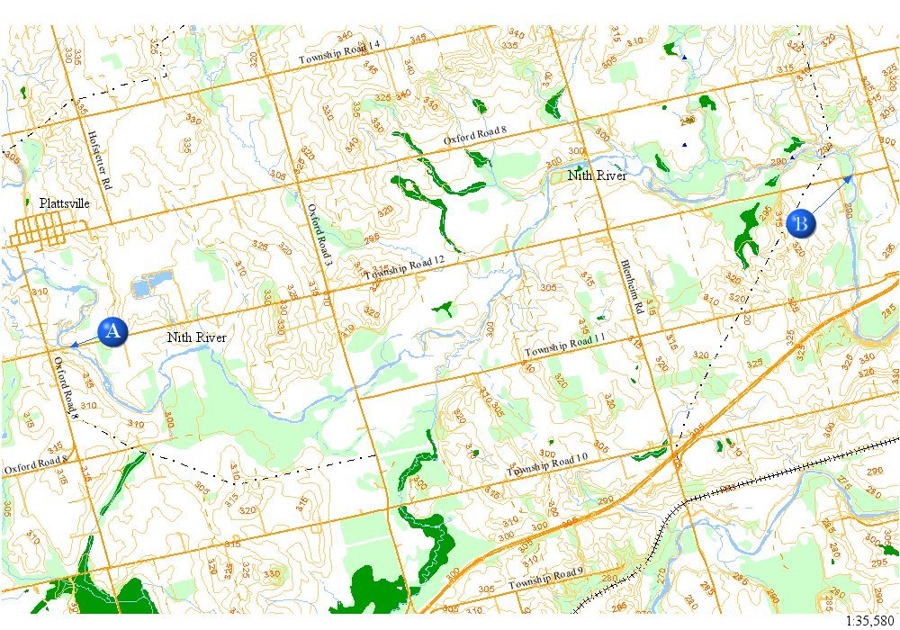
NITH RIVER: map
|
||||||
| This page was last updated on July 6, 2003 at 12:27 AM | ||||||
| Disclaimer | ||||||